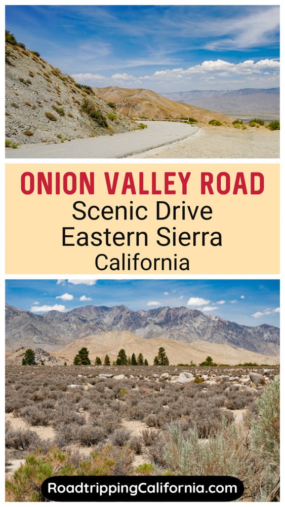
If you are looking for scenic drives in the Eastern Sierra of California, consider Onion Valley! The road going up to the Onion Valley Campground offers spectacular vistas at every turn.
Known for its campgrounds, fishing, and epic hiking, Onion Valley lies at an elevation of about 9,200 feet.
Onion Valley Road connects the town of Independence, CA, with Onion Valley, from where trails lead into the John Muir Wilderness and Kings Canyon National Park.
Some links on this page may be affiliate links. If you click an affiliate link and make a purchase, we may receive a small commission, at no extra cost to you. For more details, refer to our disclosure.
But you do not have to have an adventure planned at the end of the journey to drive Onion Valley Road, because the drive is an exciting adventure in itself!
Onion Valley makes for a lovely side-trip on a Highway 395 road trip, or a worthwhile excursion from Lone Pine or Bishop.
Planning to drive Onion Valley Road? Read on to discover what to expect on this wildly scenic drive, plus our tips for doing the drive!
WHAT CAN YOU EXPECT ON THE Drive to Onion Valley?
Breathtaking views, all along the route!
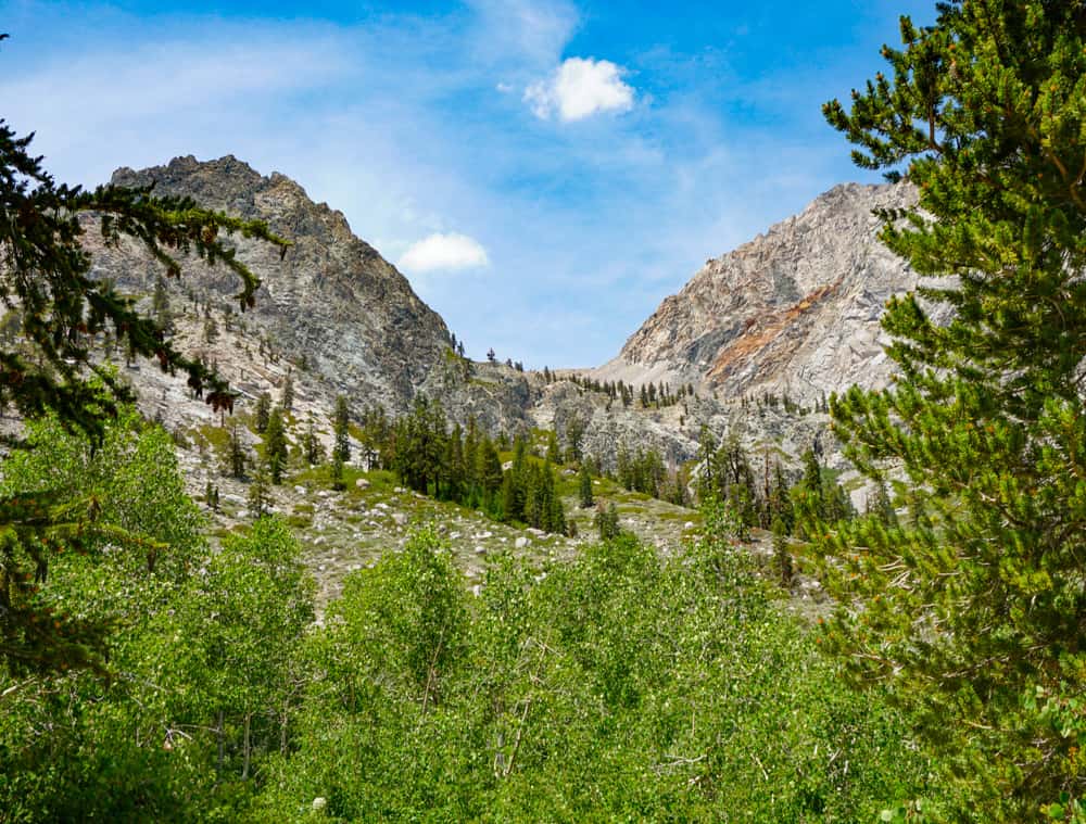
From the views of the Sierra Nevada mountains at the start of the drive to the panoramic vistas of the Owens Valley from higher elevations, the drive to Onion Valley is indescribably beautiful.
Along the way, you can stop to take in the views at leisure, and of course, there are things you can do at Onion Valley as well.
Take Stunning Photos of Onion Valley Road
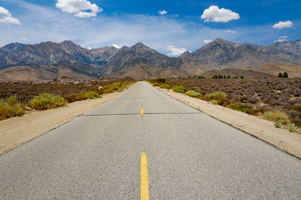
Almost as soon as you head out, the views are spectacular. The road stretches out straight ahead towards the mountains, with the peaks in the distance.
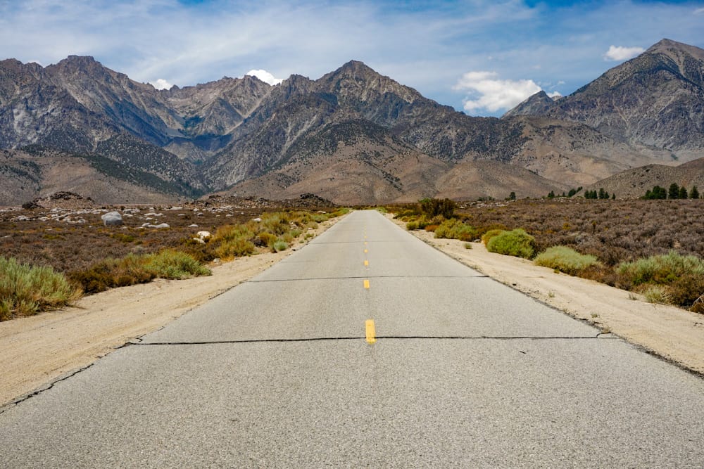
This is a great stretch to take those iconic “center of the road” photos, if you can do so safely.
Traffic was light when we did the drive. While I took the photos, my husband watched for oncoming traffic and alerted me to any approaching vehicles.
Admire the Views of the Mountains
As you get nearer the mountains, the views get more dramatic, and there are interesting little hills on either side of the road, nestled at the base of the Sierras.
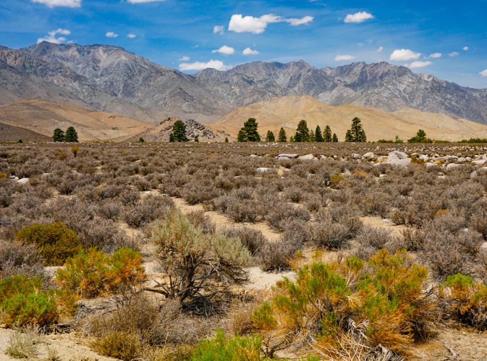
On the flat stretch leading to the mountains, we were able to find spots to park off the road. But as you start climbing, you should only park at pullouts.
Enjoy the Winding Drive to the Top
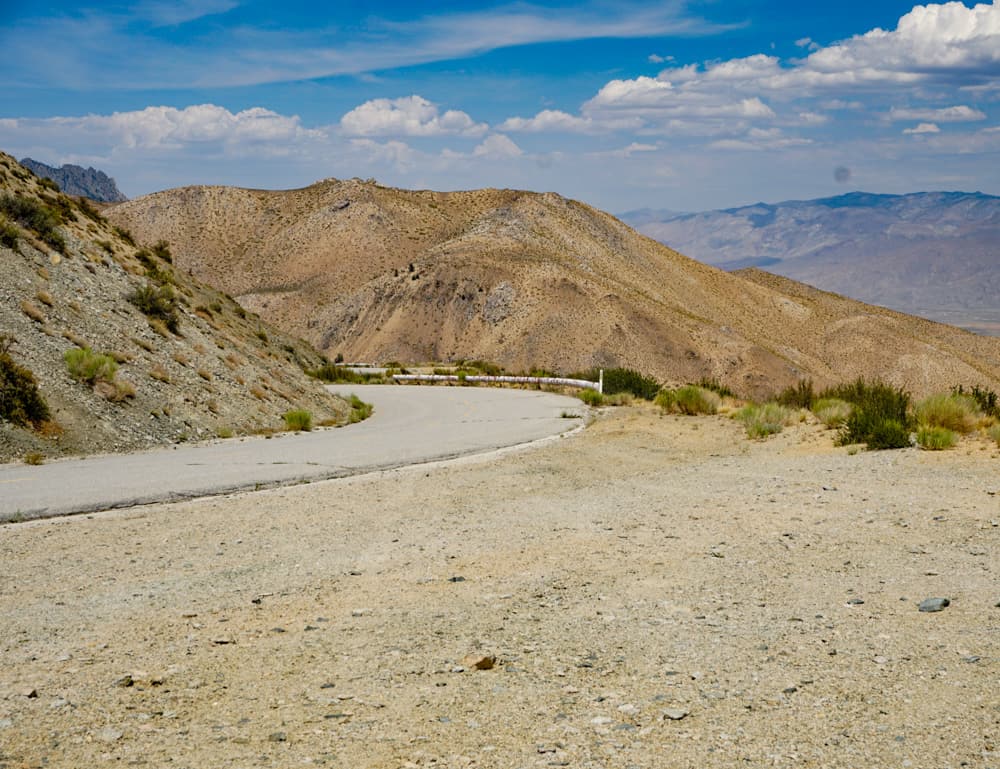
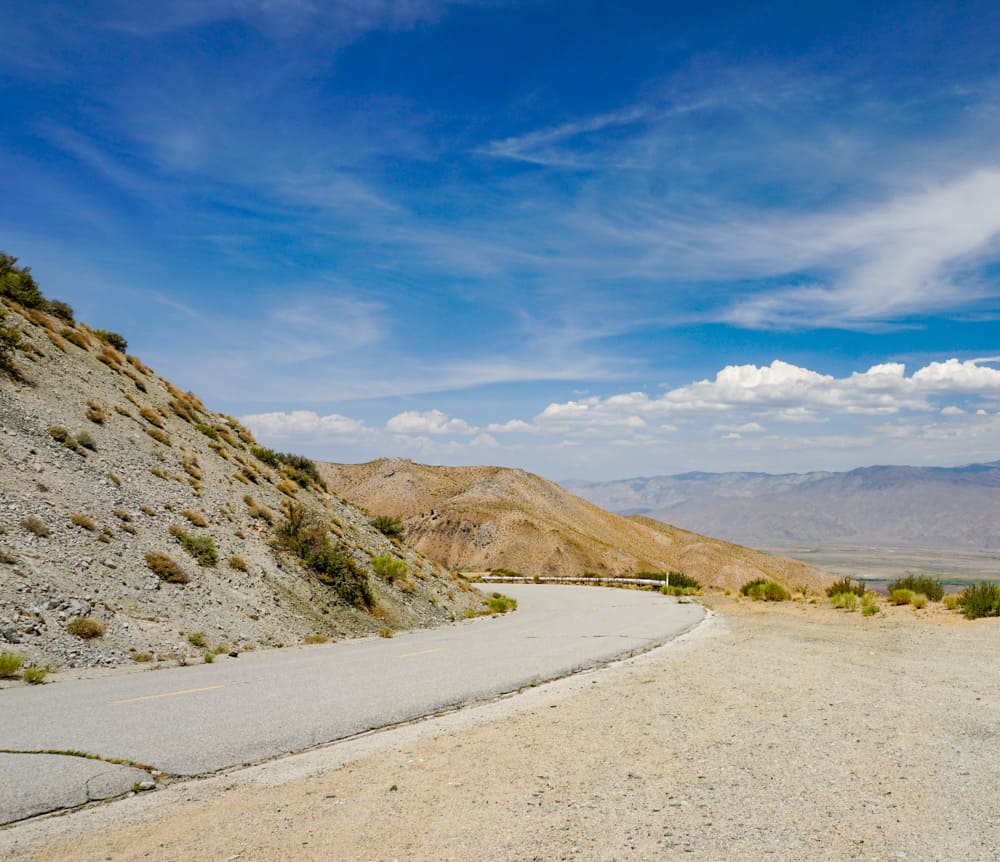
As you reach the base of the mountains, the road begins to wind as it climbs.
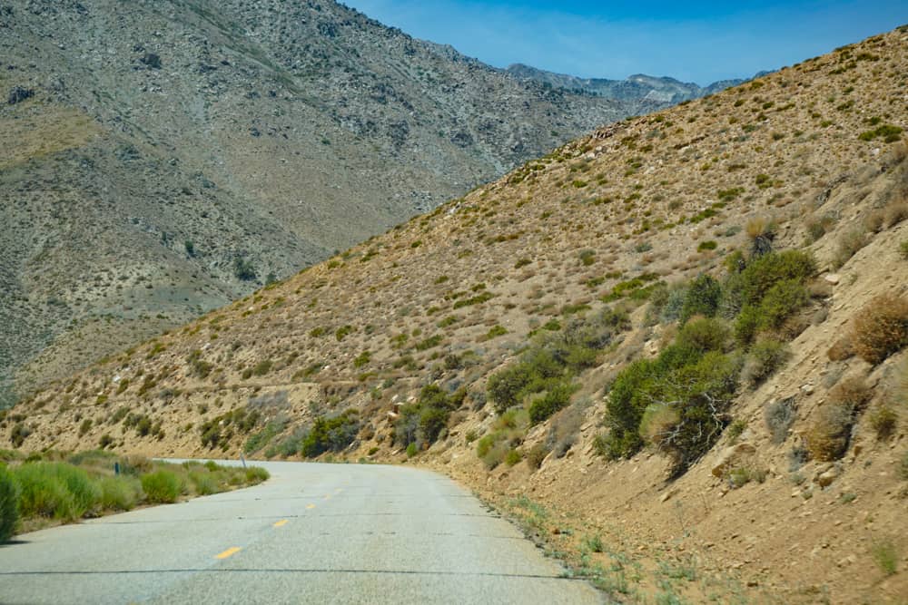
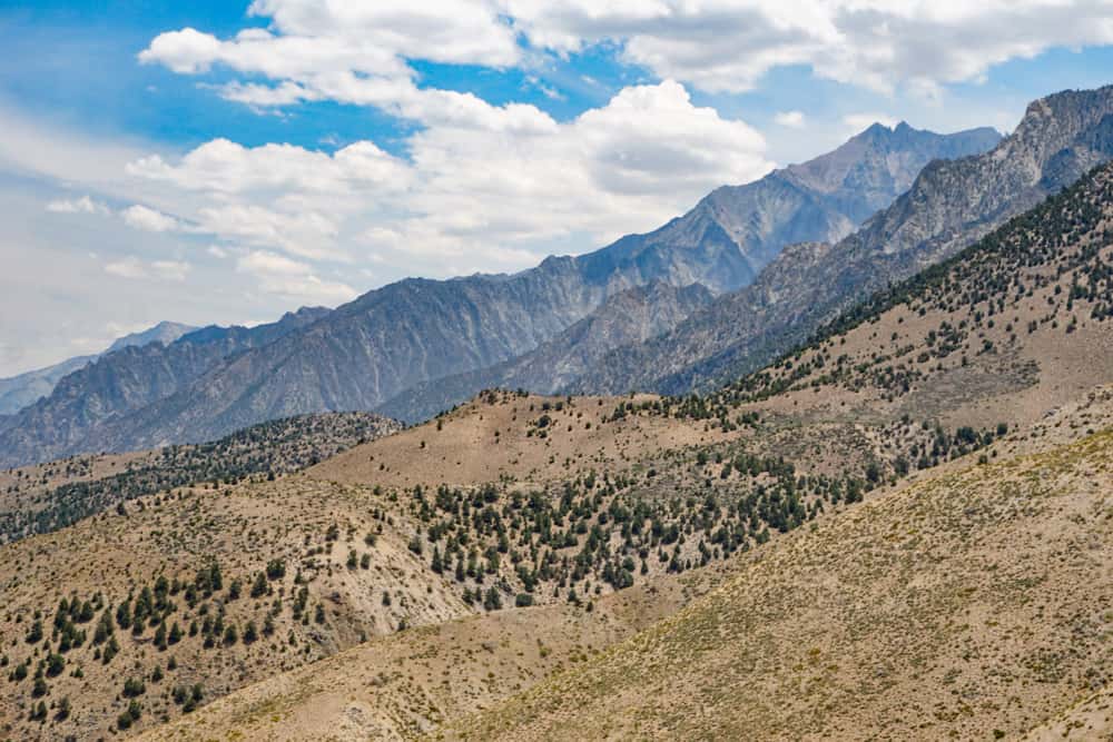
As you get a little height, each turn brings expansive views of the Owens Valley below, and the jagged mountains in front of you. It’s very cool!
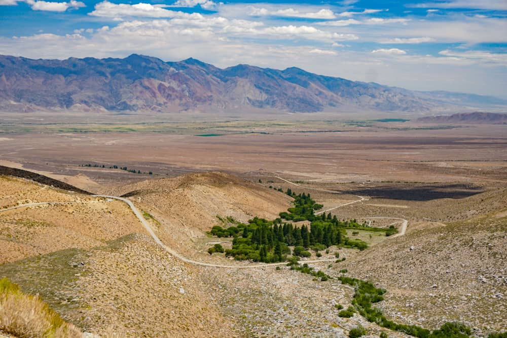
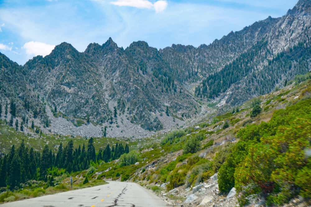
At around the mid-point of the drive, there’s an exciting stretch of switchbacks, before you start making your way deeper into the mountains.
Walk around the Parking Area at Onion Valley
When you arrive at the Onion Valley Trailhead parking area, where the road ends, park your car and stretch your legs, taking in the views all around you.
The parking lot is good-sized, and we had no trouble finding a spot on a nice weather morning in high summer.
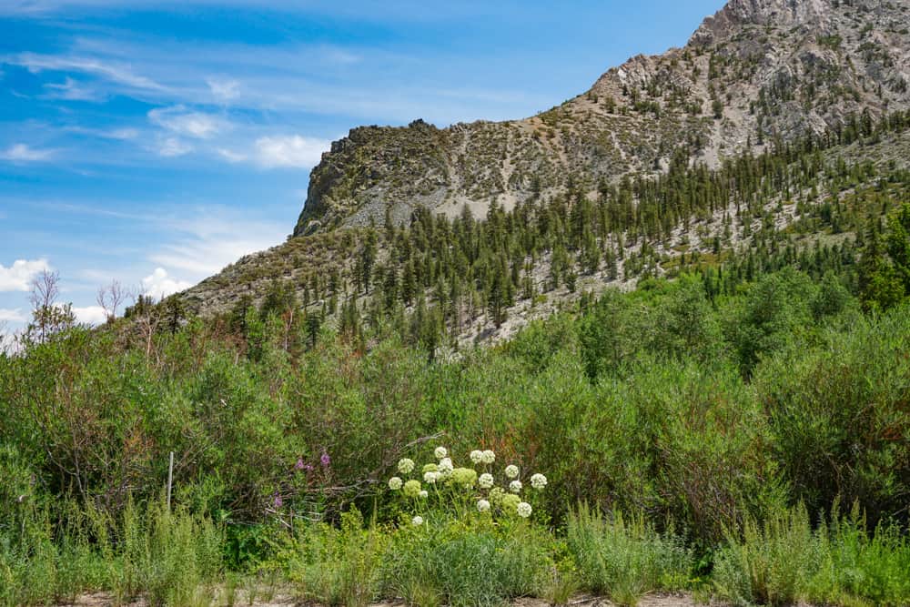
You may see hikers making their way up the Kearsarge Pass Trail. The mountain peaks rise up all around, and you may hear the sound of the little creek as it bubbles its way near the parking lot.
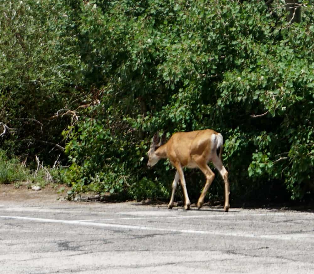
When we visited, we saw deer at the parking area. Onion Valley is reported to be high in bear activity, so keep your eyes peeled! You may also see (and hear!) birds.
Look for the Onion Valley Waterfall
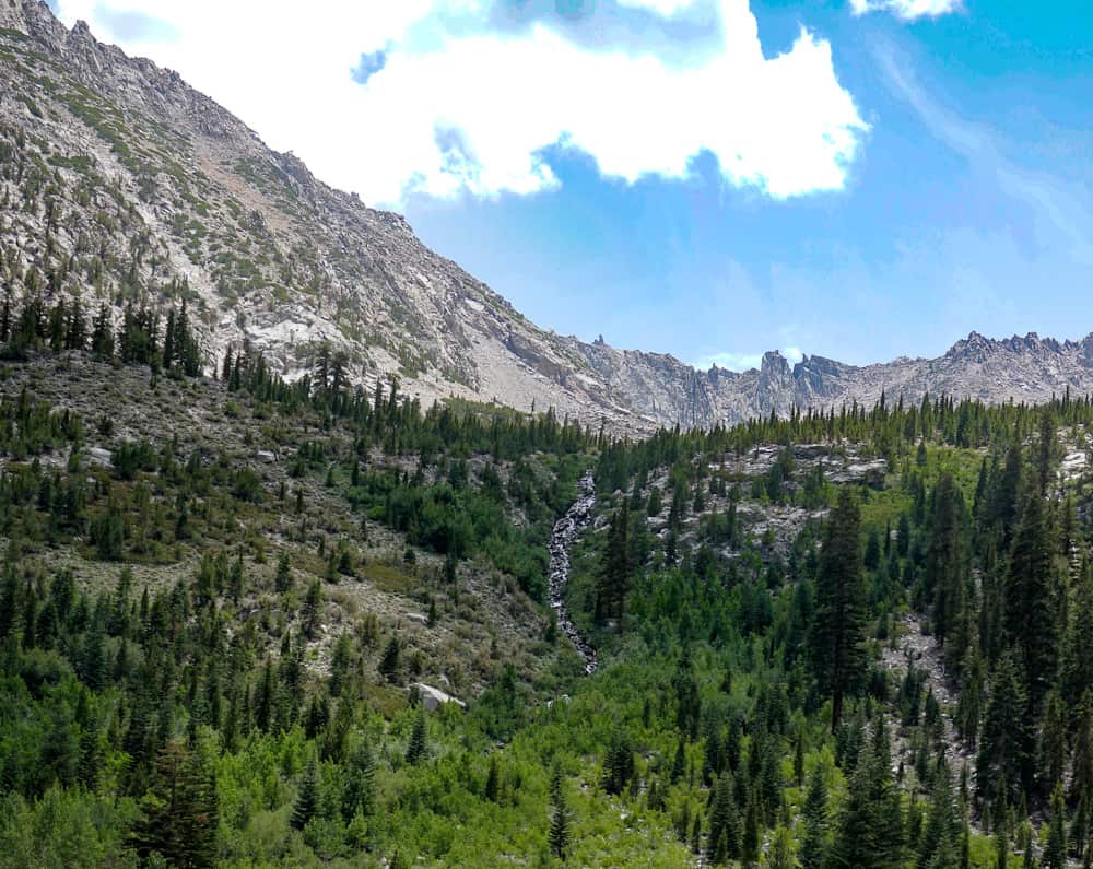
If you visit earlier in the year, you will likely see a waterfall, right from the parking area.
You can see the cascade tumbling down the mountain, with the jagged peaks behind creating a great backdrop.
Sadly, the flow was very thin when we visited, but you can still see the path of the cascade in my photo.
Have a Picnic
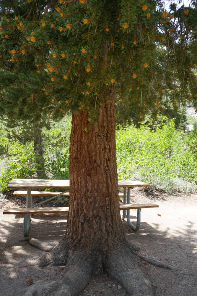
We did see one picnic table in the trailhead area, but if you want to enjoy lunch up at Onion Valley, we suggest bringing things that are easy to eat on the go, like sandwiches.
We picked up lunch at the Alabama Hills Bakery & Cafe in Lone Pine, and enjoyed the delicious sandwiches as we sat on a couple of boulders at the trailhead area.
Hike the Robinson Lake or the Golden Trout Lakes Trail
The Robinson Lake Trail and the Golden Trout Lakes Trail are two day hikes that start at the Onion Valley Trailhead.
The Robinson Lake Trail is a popular day hike. It is an out and back hike, with a round trip distance of about 2.8 miles. The elevation gain is hefty, at about 1,300 feet, but the payoff is the tranquil Robinson Lake, with its turquoise waters.
The trail is infrequently maintained, and you may encounter rough and/or overgrown sections.
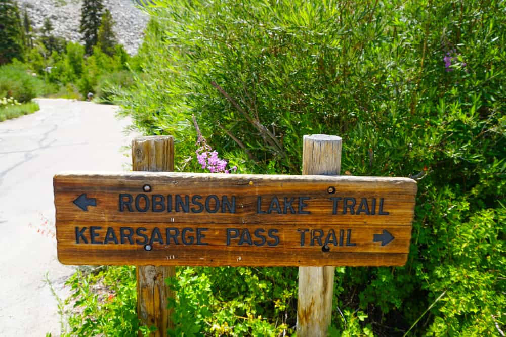
The Golden Trout Lakes Trail is a 5.1-mile loop, and a challenging trail best left to experienced hikers comfortable with hiking in the High Sierra.
The trail is reported to be difficult to find without good navigation, and involves quite a bit of scrambling and steep stretches.
Consult with staff at the Eastern Sierra Interagency Visitor Center if you plan to hike, to make sure the trails here are suitable for you.
Walk a Short Length of the Epic Kearsarge Pass Trail
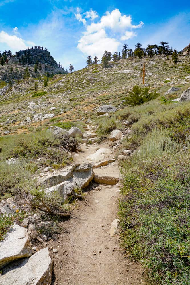
The epic trail at the Onion Valley Trailhead is the Kearsarge Pass Trail, which climbs to Kearsarge Pass at 11,700 feet, and continues beyond to Kings Canyon National Park.
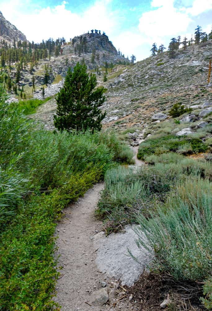
It traverses the John Muir Wilderness, through forested stretches and alpine tundra. The Sierra peaks form a majestic backdrop to the scenery.
Along the route, you will pass many lovely lakes. Gilbert Lake has a stunning setting, and is a popular fishing lake. Flower Lake is another scenic lake you’ll see.
It is about four miles one way to Kearsarge Pass.
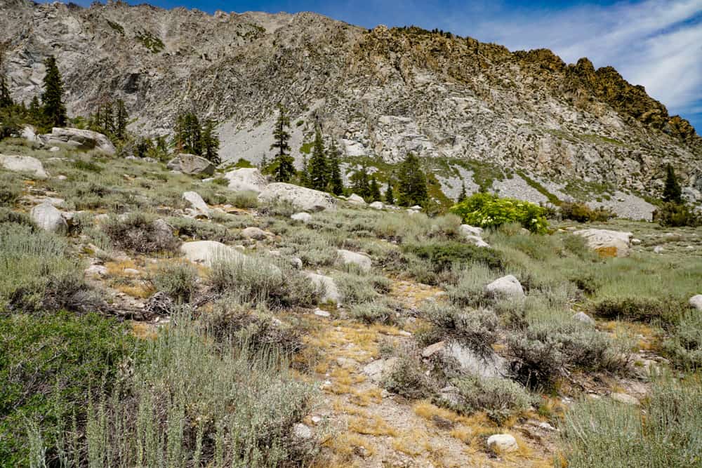
We walked just a little ways up, to get a taste of the path, but we saw many backpackers headed up the iconic Eastern Sierra trail. It is a popular multi-day Sierra hiking trip.
Admire Wildflowers or Fall Colors
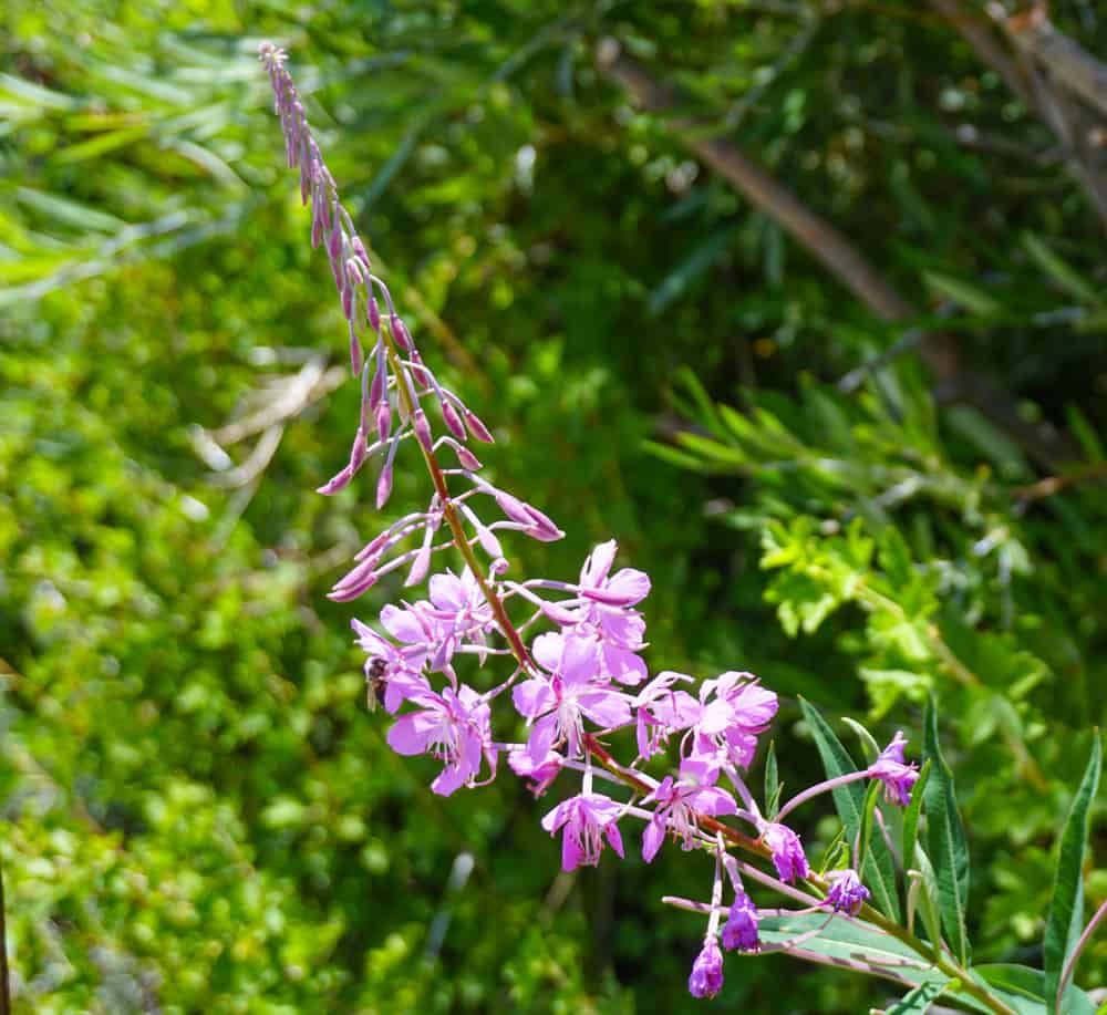
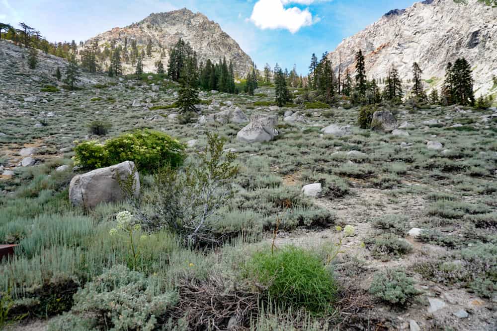
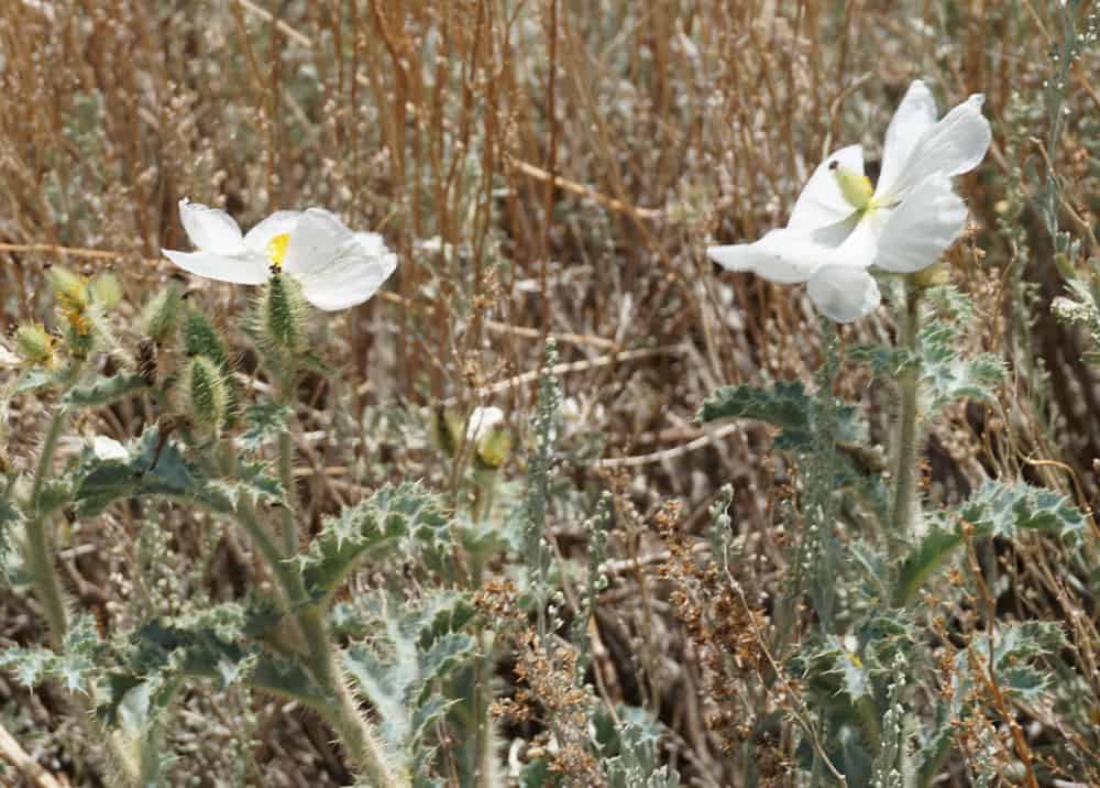
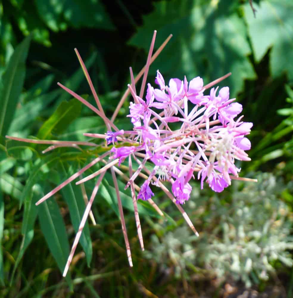
If you visit Onion Valley in the late spring or in the early summer, you will find it flush with wildflowers.
Because of the elevation, we found many species of wildflowers in bloom here even at the end of July.

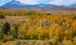
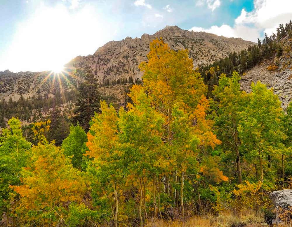
There are lots of aspen trees at the Onion Valley trailhead, so if you visit in the fall, when the leaves change color, you will find them blazing yellow or orange.
Enjoy the Beautiful Drive back down to Independence!
The drive down from Onion Valley Campground to Independence is just as beautiful.
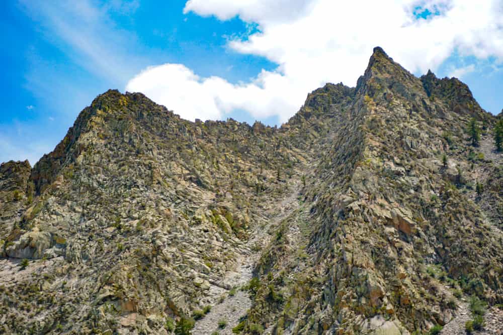
As you twist and turn on your way down, marvel at the beautiful rock faces and the expansive panoramas of the Owens Valley.
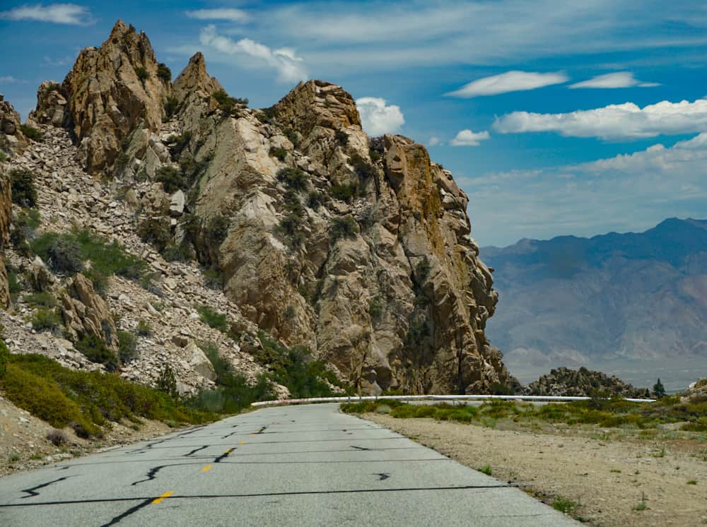
On the way down, you can pull over and park at one or more of the pullouts along the route, to enjoy the views at leisure and snap photos.
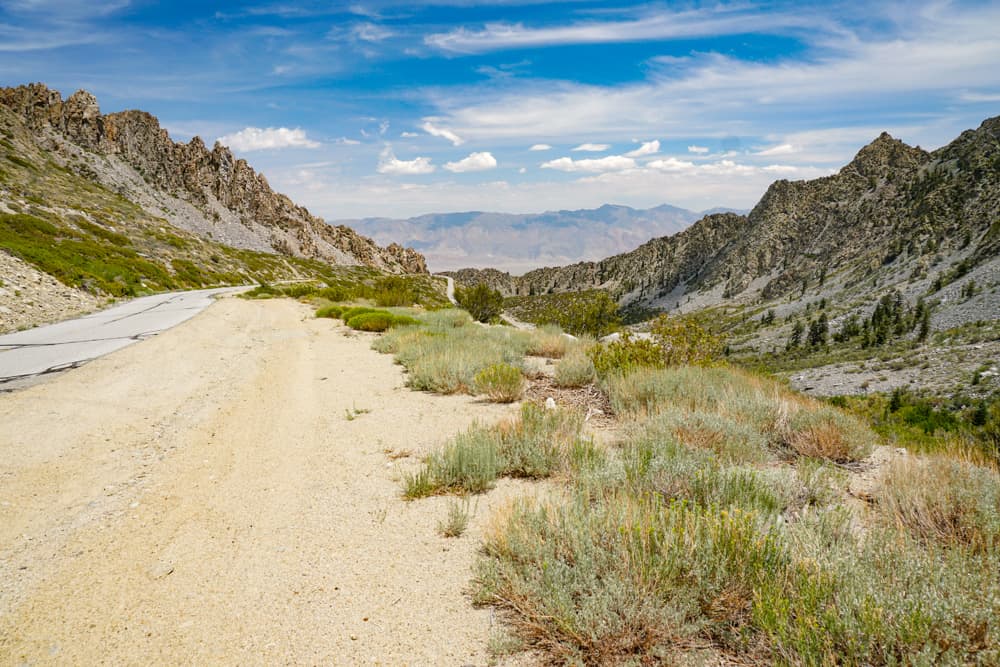
Essential Facts about the Onion Valley Road
Onion Valley Road is a little over 13 miles from end to end, and fully paved. The road ends at the Onion Valley Trailhead, where you’ll also find Onion Valley Campground.
Over its short length, you’ll ascend from the high desert environment of Owens Valley to the alpine forests of Onion Valley, where the peaks of the Sierra Nevada mountains scrape the sky.
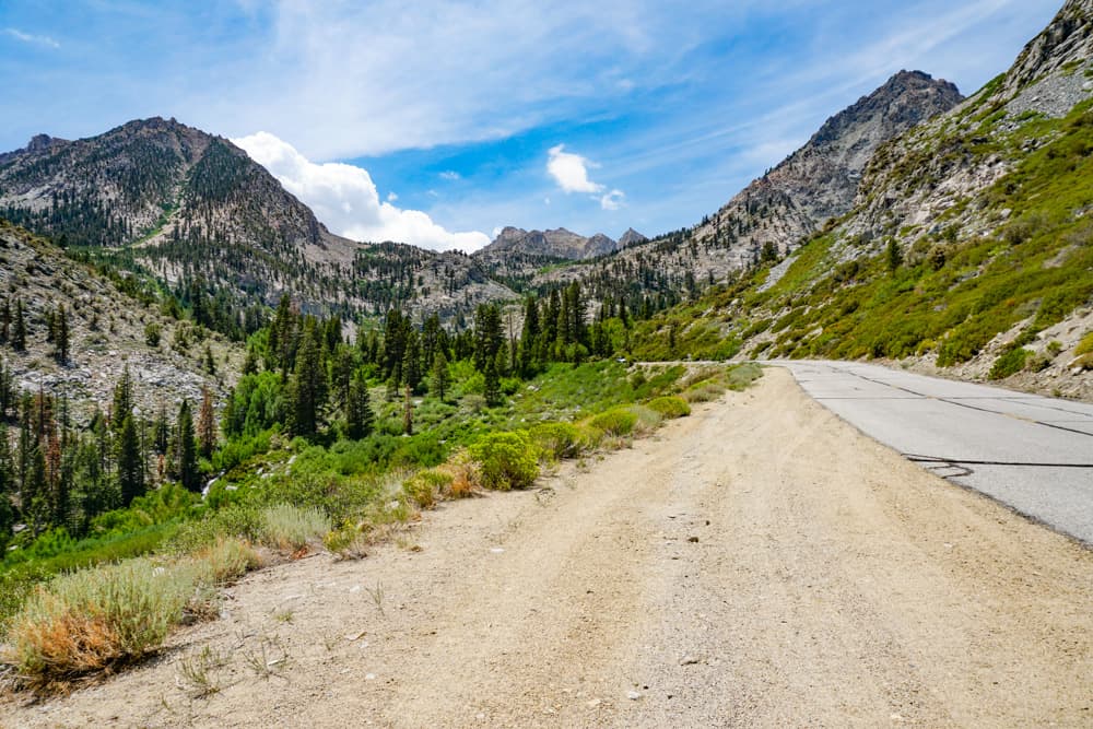
Onion Valley Road is a single lane on each side. It is not especially narrow, but it is winding and steep, and anxiety-inducing if you have a fear of heights.
There are several switchbacks as the road ascends and then more twists and turns as the road makes its way into the mountains. Be alert for blind corners.
We drove Onion Valley Road in the summer of 2021 and found it very well maintained, all along its length. We had a smooth ride to the campground area and back.
Pullouts for enjoying the views along the route are usually on the right, so we found it easier and safer to make the stops on our way down.
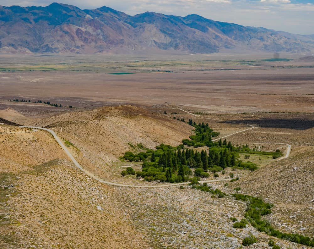
Onion Valley Road is usually open from some date in May until some time in November. Exact dates vary by year and are dependent on snow accumulations.
If you plan to drive Onion Valley in the shoulder months (April-May or October-November), call the USDA Forest Service (Inyo National Forest), or check road status at the Eastern Sierra Interagency Visitor Center in Lone Pine before you go, to avoid disappointment.
Onion Valley is a bicycling route (the toughest cycling climb in California!), so watch for cyclists as you drive.
There are vault toilets at the Onion Valley Trailhead parking area.
Map of Onion Valley Road
Tips for Driving Onion Valley Road in Independence, CA
Pick a Bright Clear Day!
You are doing the drive for the views, so be sure to pick a bright clear day. The panoramas over the valley are best when the weather is nice.
A dry clear day with less wind also makes for a safer drive.
Of course, the weather in the mountains can change at short notice, especially in the fringe months, so check the forecast right before you head out.
And be prepared to turn back if you run into bad weather.
Do the Drive in the Daytime
Again, since the views are the main reason you’re doing the Onion Valley Road drive, do it during daylight hours to enjoy the vistas as you go up or down.
If you head back down in the late afternoon, so you are in the lower one-third section towards sunset, you can snap photos of the colorful sky at sunset just before completing the drive.
Visit in Late Spring or Fall for Snow on the Mountain Peaks
We did the drive in July, and although the mountains looked spectacular, there was very little snow on the Sierra peaks.
In the spring and late fall, the mountains have a much greater likelihood of having snow caps, which makes for truly dramatic vistas.
Allow Plenty of Time
You can drive Onion Valley Road in about 30 minutes to so one way.
But you will want to make stops along the way to enjoy the views and take photos, and you will definitely want to spend some time at Onion Valley once you are there.
Allow at least a couple of hours, more if you plan to have lunch at the top.
If you plan to hike one of the trails (to Robinson Lake or the Golden Trout Lake Loop, or a small part of the Kearsarge Pass Trail), you will, of course, need even more time.
We spent about four hours in all, only hiking a small length of the Kearsarge Trail. The views are so spectacular that you cannot help stopping a lot for photos!
Get a Permit if You Plan to Backpack
Day hikes do not require a permit, but if you plan to overnight, remember to obtain a wilderness permit before you head out.
You can get a permit ahead of your trip and pick it up at an Inyo National Forest visitor center or ranger station.
Pack Food and Drink
If you plan to have lunch at the top, bring food and drink. We only saw one picnic table near the parking area, so prepared food that you can eat whilst sitting on a rock, savoring the views, are your best bet.
The campground has potable water, but we brought a supply of drinking water, just in case.
Dress in Layers
Even if you do the Onion Valley Road drive in high summer, make sure to bring layers.
The weather will be cooler at Onion Valley than in the Owens Valley, because of the higher elevation, plus you never know when weather in the mountains will change.
If you plan to hike, wear sturdy, closed-toed hiking shoes or boots with good traction, and carry trekking poles if you need extra support.
Bring Your Camera and Binoculars!
A smartphone will work for photos and video, but if you want to capture shots of birds and wildlife, bring a camera with a more powerful zoom.
We took lots of smartphone photos, but also used our cameras.
You don’t have to carry a heavy lens, especially if you plan to hike. We use a small camera that fits into our jacket pockets: the Panasonic Lumix DC-ZS70, which comes with a 30X zoom and Leica lens, and produces great pictures.
If you enjoy bird or wildlife viewing, bring your binoculars as well. We use the Celestron Trailseeker compact binoculars.
*****
Planning to explore more of California? Check out some of our other articles on scenic drives!
- Artist’s Drive in Death Valley National Park
- Tioga Road through Yosemite National Park
- June Lake Loop in the Eastern Sierra
- 17-Mile Drive through Pebble Beach
- Palms to Pines Scenic Byway
- Whitney Portal Road
Did you find this article informative? Pin it for later reference!
