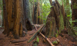
Tomales Point Trail is spectacular. If you only have time for one hike at Point Reyes National Seashore, make it Tomales Point Trail.
You don’t even have to walk to the end of the trail to enjoy its scenic splendor, because the views are stunning from almost the start of the trail.
And as a bonus, you will very likely see tule elk along the way!
If you are looking for a trail that captures the essence of the windswept, untamed beauty of Point Reyes, Tomales Point Trail is the hike you must pick.
Hiking this trail is one of the most exciting things to do in Point Reyes. It is an easy day trip from San Francisco!
Some links on this page may be affiliate links. If you click an affiliate link and make a purchase, we may receive a small commission, at no extra cost to you. For more details, refer to our disclosure.
On a nice weather day, you will likely encounter other hikers of all ages along Tomales Point Trail. It’s arguably the most popular hike in Point Reyes.
Planning to hike Tomales Point Trail? Read on to discover what to expect, plus some things to know before you set out!
TABLE OF CONTENTS
What can you expect on Tomales Point Trail?
Essential facts about Tomales Point Trail in Point Reyes
How to get to the trailhead for Tomales Point Trail
How long does it take to hike Tomales Point Trail at Point Reyes National Seashore?
What to bring on the Tomales Point Hike
Tips for the Tomales Point Hike in Point Reyes
What can you expect on Tomales Point Trail?
Fabulous water views, wildlife sightings, wildflowers in season, a historic ranch, and more!
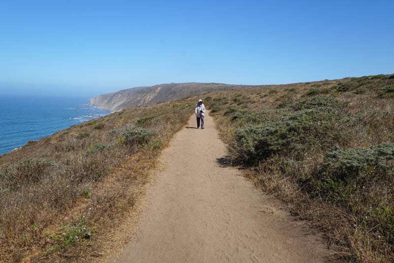
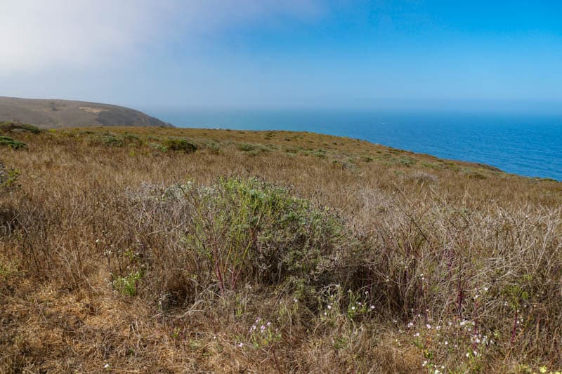
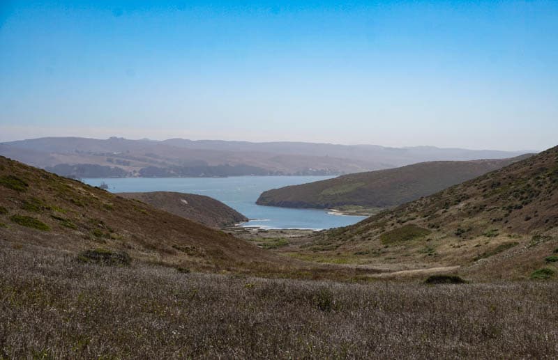
Located at the northern end of the pickaxe-shaped Point Reyes peninsula, Tomales Point Trail offers magnificent views of the Pacific Ocean to the west, Tomales Bay to the east, and Bodega Bay to the north.
Tomales Point is the very northern tip of the head of the axe, so narrow that the hoo-koo-e-ko, the first people in the region, called it kal-loo-pis — “the bill of the hummingbird.”
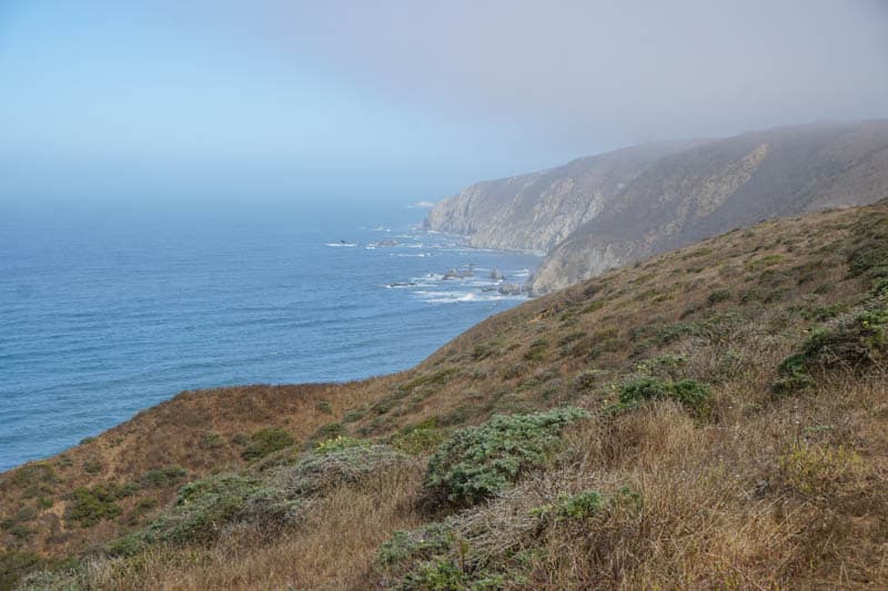
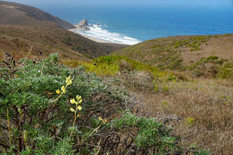
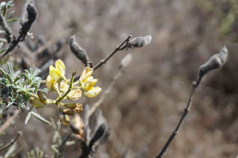
Along the way to the point, enjoy the coastal flora, and a plethora of wildflowers in season (spring and early summer). The bush lupine, generally in bloom in May, is spectacular.
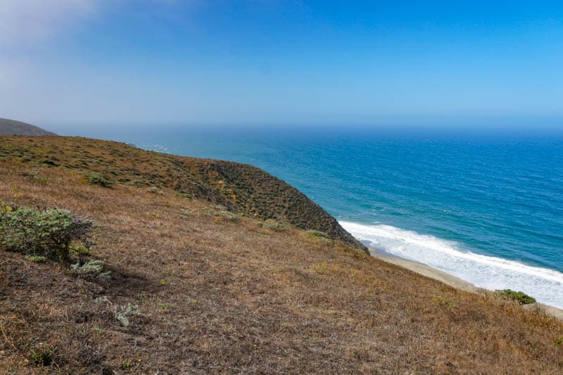
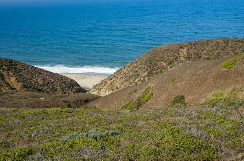
Peek down onto pristine beaches, and gape at the beauty of the cliffs jutting out into the water. The scenery is so beautiful that you will find yourself reaching for your camera or smartphone every few minutes to take yet another photo.
Historic Pierce Point Ranch
By the trailhead for Tomales Point Trail, you will find historic Pierce Point Ranch. If you enjoy local history, start the hike by walking the ranch to view the buildings and reading the informative plaques to learn more about its history.
The Pierce family started the ranch in 1858. Pierce Point Ranch is one of the oldest ranches in the area, and was one of the most successful as well. It was famous for its butter. After the Pierces, the McLure family operated the ranch, until 1973.
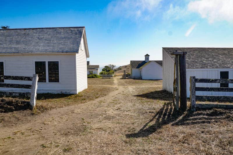
The ranch was added to the National Register of Historic Places in 1985, and today the restored ranch buildings are maintained by the National Park Service.
There are several buildings that make up the restored ranch, including the main house, the slaughterhouse, barns, a school, a blacksmith shop, and a carpenter shop.
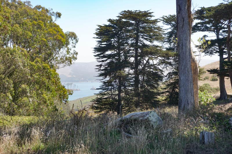
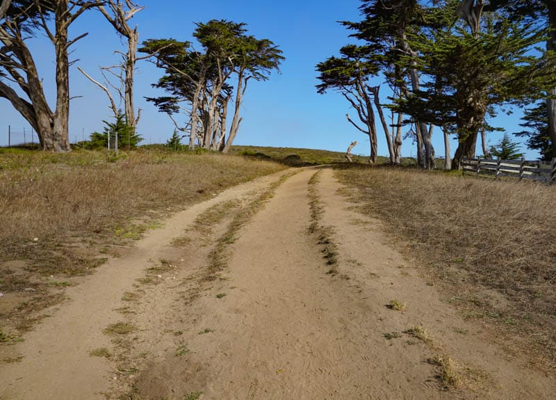
You will see several Monterey cypresses around the ranch: the trees around the ranch are the only trees along Tomales Point Trail. The trees were planted as windbreakers by the ranchers.
Look for Tule Elk
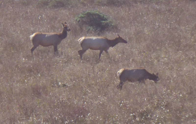
The Tule Elk Reserve is located in Tomales Point, and if you hike Tomales Point Trail, you will very likely see tule elk along the trail. Windy Gap, about a mile into the hike, is a good place: you may see elk in the gulch below the trail here.
Tule elk were common in the region until the Europeans arrived, following which they were hunted to near extinct status.
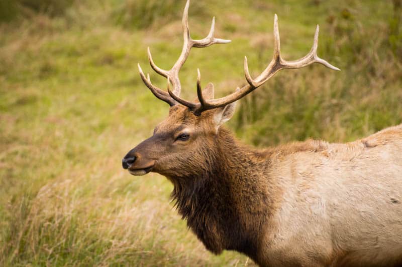
In the late 1970s, the park service brought in a few elk to the reserve. Now, there are several hundred elk in the park, and observing them (from a safe distance) is one of the joys of hiking Tomales Point Trail.
While you may see tule elk any time of year at Pierce Point, visiting in late summer or early fall allows you to hear the bugling of the males, and, if you are lucky, you may see males clashing horns.
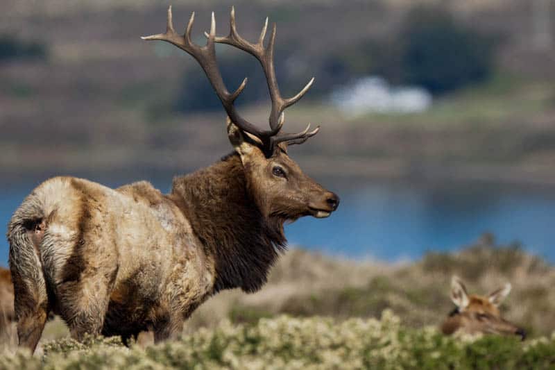
As you hike, look for elk in the vegetation along the trail. The males in particular, many of them with magnificent racks, make for great photo subjects.
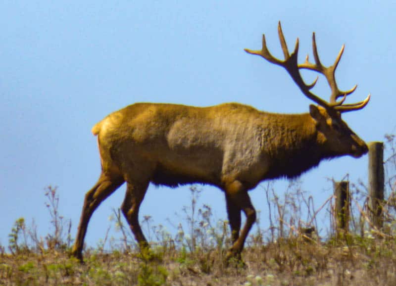
When we hiked the trail in August, we saw numerous elk on the hillsides along Tomales Point Trail. Single males, single females, males with harems and calves: after a while we lost count!
It was fun to hear their bugling as we hiked the trail.
Look for Birds and Marine Life
While tule elk are the star wildlife attraction on Tomales Point Trail, Point Reyes is home to many other species of wildlife, and a large number of bird species: close to 500 species of birds have been spotted in the park and over the waters adjacent to the park.

At Bird Rock, located to the west near the tip of the peninsula, you may see lots of cormorants, murres, gulls, and pelicans. The ashy storm petrel reportedly nests at Bird Rock, but the birds arrive after dark and depart before it gets light.
You may see land birds in the Monterey cypresses by Pierce Ranch, as well as in vegetation along the trail. We saw several California quail, sparrows, a spotted towhee, and some finches when we hiked the trail in August.

Land animals such as fox, bobcat, coyote, and black-tailed deer may also be sighted, especially early or late in the day. Point Reyes is home to mountain lions as well, but a daytime sighting is pretty rare.
Look for porpoises in the water close to shore, and whales further out in the ocean. Although there are better spots in Point Reyes for whale watching, you may get lucky and see them from this trail.
California gray whale migrate south to Baja California in winter, and back to the Arctic Seas in the spring, and pass by Point Reyes both times.
Essential facts about Tomales Point Trail in Point Reyes
Tomales Point Trail is an out-and-back trail, 9.7 miles round trip, with an elevation change of about 1,200 feet. It is classed as moderate.
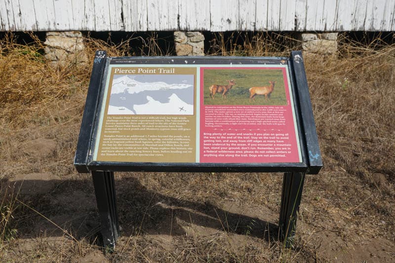
The trail follows the spine of the narrow peninsula, and is maintained up to the site of Lower Pierce Point Ranch, about three miles from the trailhead.
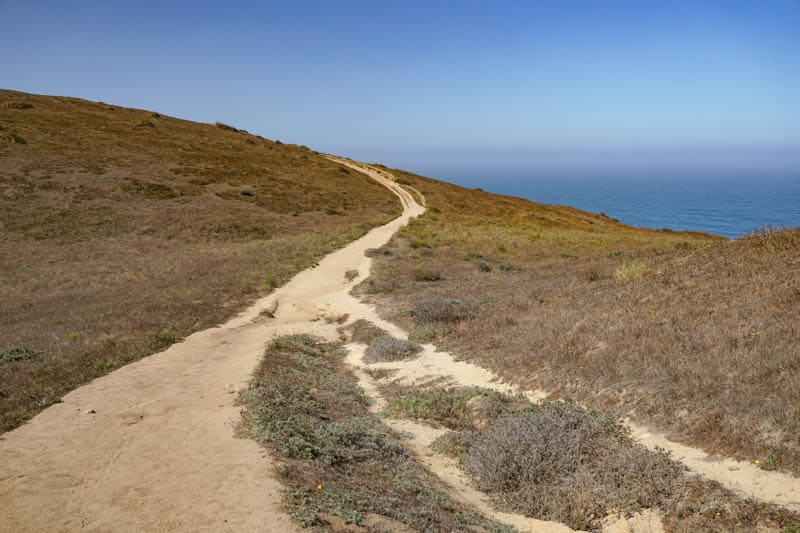
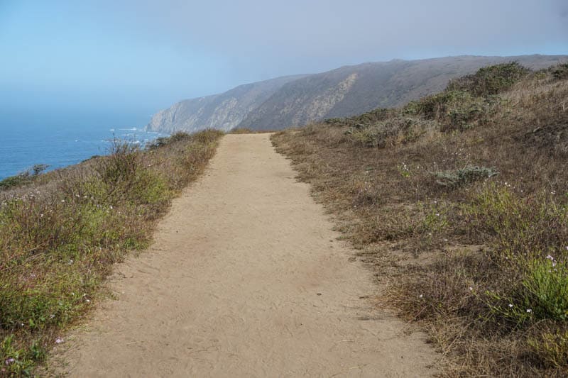
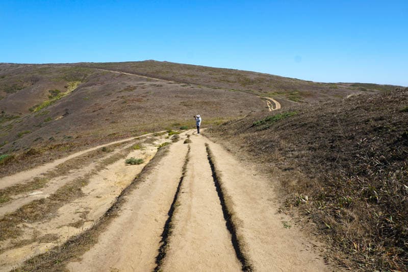
The trail is packed dirt for much of its length, with some sandy parts.
The final stretch of about 1.7 miles is very sandy, making this part of the trek more challenging. This last part can also be overgrown with bush lupine and other vegetation, so go prepared if you plan to hike the entire stretch.
The sand is deep enough in parts that your feet will sink into it.
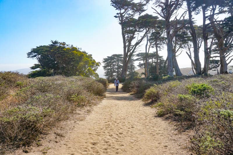
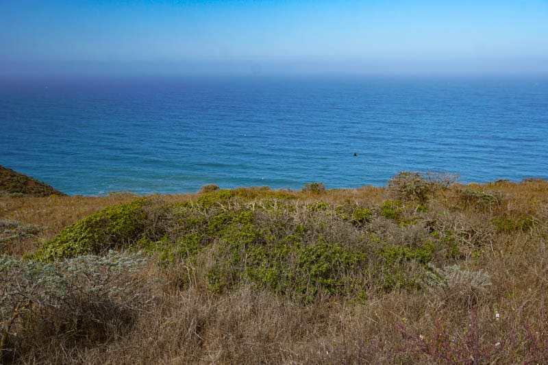
The first mile or so is both relatively flat and relatively wide, and should be doable for many visitors to the park. Once you get to the crest above the ocean (from the trailhead), the first mile offers stunning views over the Pacific Ocean on a clear day.
The first mile is also a great stretch to walk if you arrive in the evening on a fog-free day. You can catch the sun going down over the water and get back to your vehicle before it gets dark, if you are brisk.
After the one-mile mark, the trail starts to climb, although the climb is not super steep. The highest point on the trail is at the 2.25-mile mark.
From here, the trail descends quite steeply to a pond at the site of Lower Pierce Point Ranch: if you do not enjoy steep uphill stretches, you may want to turn back before this descent.
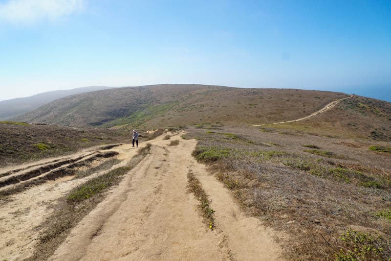
Beyond Lower Pierce Point Ranch, the trail becomes fine sand. Some bushes here can be shoulder high, making it challenging to know which path to take. Eventually, however, the trails converge, in the last bit to the end, where you have a spectacular view of waves crashing on the rocks.
As the peninsula narrows, the trail narrows as well. Note that California coastal cliffs can be unstable and are susceptible to collapsing. In fact, a section of Tomales Point Trail near the tip of the peninsula collapsed in 2017.
Bikes and pets are not permitted on Tomales Point Trail.
How to get to the trailhead for Tomales Point Trail
Tomales Point is the northernmost point of the Point Reyes peninsula, and is accessed via Pierce Point Road.
From Point Reyes Station or the Bear Valley Visitor Center, drive to Sir Francis Drake Boulevard. Follow Sir Francis Drake Boulevard about 5.6 miles to its junction with Pierce Point Road.
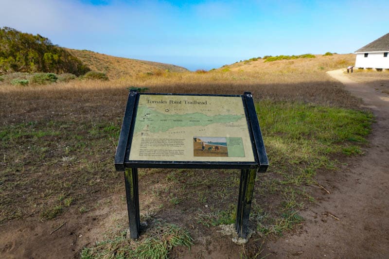
Drive north on Pierce Point Road for about 9 miles to arrive at the parking lot for Tomales Point Trail. Tomales Point Trailhead can be found just off the parking lot, and is signed.
Or you can tour the ranch and walk through from the ranch to the trail as well.
The parking lot at Pierce Point Ranch is not large and the trail is popular, so it can get full by mid-morning, especially on weekends or during the summer. Arrive early in the day to snag a parking spot without a wait.
You can also park along Pierce Point Road, but during the wet seasons (winter and early spring), the shoulders can be soft and vehicles have been known to get stuck. If you park along the road make sure you park completely off the pavement.
How long does it take to hike Tomales point Trail at Point Reyes National Seashore?
If you walk briskly and do not make too many stops along the way, you should be able to complete the hike in its entirety about 3 to 3.5 hours. Remember that the sandy stretch at the northern end is slower going than the dirt portion of the trail.
You will definitely want to make stops along the way, to take in the beautiful views, snap photos and shoot video, and observe birds and wildlife. We recommend allowing about an hour for stops.
On our most recent visit to Tomales Point, it took us about 4.5 hours to hike up to Lower Pierce Point Ranch and back, but we walked at a leisurely pace and stopped often! We also toured Pierce Point Ranch at leisure.
If you hike the trail in the later part of the day, allow time to enjoy the beauty of the sunset if the day is free of fog. Sunset here can be quite spectacular, especially if you get colorful clouds right after the sun disappears.
Good to know: The drive from Bear Valley Visitor Center or Point Reyes Station to the trailhead can take 35-40 minutes, same for the drive back. Pierce Point Road is typically a slow drive.
What to bring on the Tomales Point Hike
Water
There is no drinking water in the Tomales Point Area, and bottled water is not sold in park visitor centers or bookstores. Carry adequate drinking water to stay hydrated on your hike.
Refillable water bottles can be filled at Bear Valley Visitor Center, and bottled water can be purchased in Point Reyes Station.
Food and Snacks
Plan to hike Tomales Point Trail either in the morning or in the afternoon, so you can have a sit-down lunch at a restaurant in Point Reyes Station or in Inverness after your hike or before.
We didn’t see many spots to sit and eat along the trail, so if you hike around lunch, bring something that you can munch on the go. There is a spot to sit at the very end: it can hold only two or three people, and you’ll be lucky if you find it vacant.
Snacks are a good idea, especially if you plan to do the trail in its entirety. We bring protein bars, trail mix, and fruit that’s easy to eat on the go.
Sun Protection and Bug Spray
Tomales Point Trail is exposed for its full length. The only trees you’ll find are the Monterey cypresses by Pierce Point Ranch. So do not forget sunscreen and sunglasses. We love this sunscreen! Also bring lip balm with SPF (we love this 3-pack!).
A wide-brimmed hat with SPF protection that can be firmly tied below your chin offers additional protection. Get a women’s hat on Amazon here and a men’s hat here.
Since it’s a long hike, we wore sun-protective clothing on the Tomales Point hike. Get women’s sun-protective long-sleeved tops on Amazon here and men’s here.
Also use bug spray if you are sensitive to bites, and to repel ticks. We used a natural bug spray when we hiked Tomales Point Trail.
Windcheater or Lightweight Warm Jacket
It can be windy and foggy on Tomales Point Trail, with cool temperatures any time of the year, especially early or late in the day. Dress in layers, or bring a windcheater or light warm jacket with you on the hike.
Digital camera with Zoom Lens
Your smartphone will likely produce good photos of the scenery, especially if you hike the trail on a good weather day and the light is good. But if you like photographing birds and wildlife, you may want to bring a camera with a zoom lens to capture tule elk and other wildlife on the trail.
We always carry our Panasonic Lumix DC-ZS70 with us on hikes. It is a tiny camera, small enough to fit in a jacket pocket, but it has a high-quality Leica lens and a powerful 30X zoom. We get amazingly good photos of birds and wildlife with it.
Good to know: Tomales Point is a no-drone zone.
Binoculars
If you are lucky, you will see tule elk somewhat close to the trail, but it’s far more likely that you will see them grazing on the hillsides far from the trail.
Remember to bring binoculars so you can view them clearly! Our go-to binoculars are the Celestron Trailseeker compact binoculars. They are not too heavy and they perform well in low light, when you can typically expect to see birds and animals.
Tips for the Tomales Point Hike in Point Reyes
follow park safety guidelines
Point Reyes National Seashore is wilderness. Find out and follow all park safety guidelines for a safe and enjoyable hike.
For example, you must stay on the trail. California coastal cliffs are fragile and prone to collapse. In 2017, a section of Tomales Point Trail did collapse. Especially once the trail narrows, be very cautious.
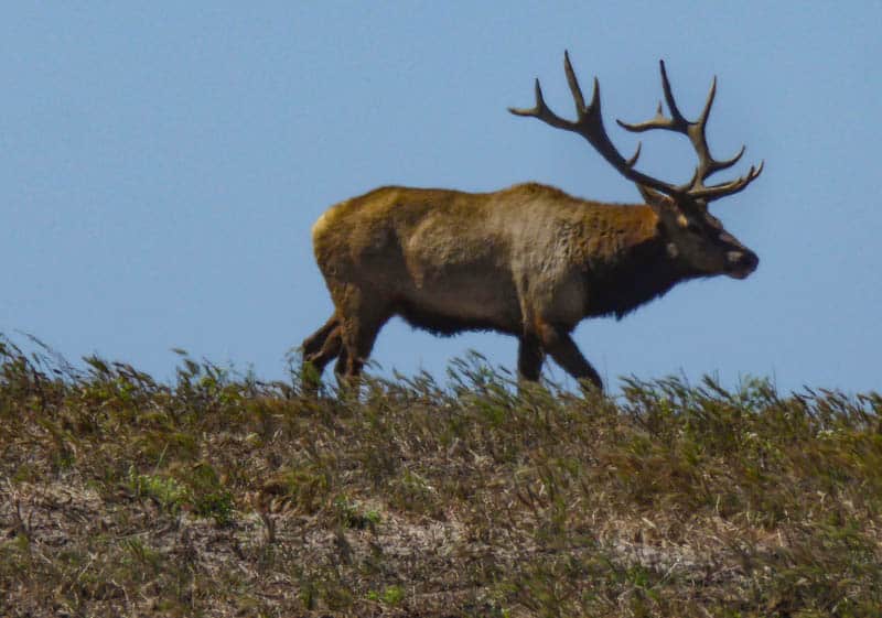
According to the park site, the tule elk in the reserve tend to leave you alone if you stay on the trail. Always maintain a safe distance from wildlife.
Pick a fog-free day for clear water views
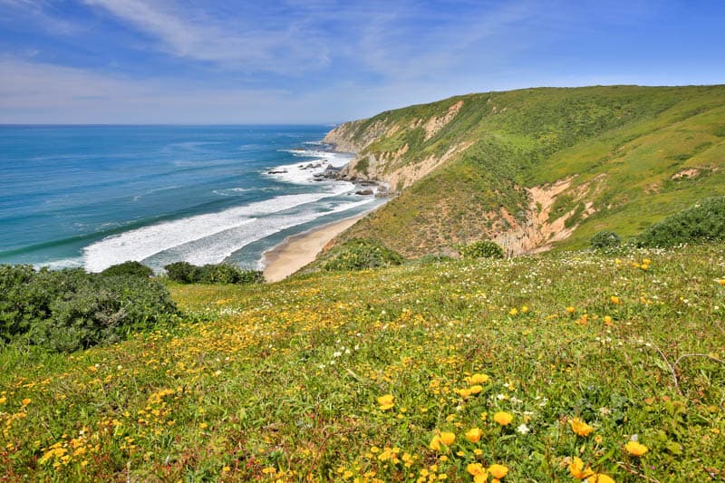
Since the views and the wildlife are significant reasons to hike Tomales Point Trail, you will want a clear day to appreciate them at their best. Sunsets here are stunning on clear days.
On fog-free days, the views of the coastal cliffs and the Pacific Ocean are breathtaking. You can see into the pretty coves, look for sea birds, and admire the tule elk you are likely to see along the way.
If you choose to hike to the end, definitely pick a clear sunny day for the best visibility.
Or a foggy day for that mysterious feel
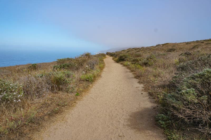
That said, we’ve hiked Tomales Point Trail on a foggy day, and we loved the experience. The fingers of mist swirling about the cliffs create an eerie ambience. You can’t see the ocean, but you can hear the waves crash below you.
Speak with park staff before you head out on a foggy day, and head back if visibility deteriorates. We restricted our foggy-day hike to the wider part of the peninsula, up to the top of the ridge.
Start your hike early or late
Tomales Point Trail is extremely popular, and weekends and clear days can bring out lots of hikers to this beautiful trail. To make sure you get parking, either arrive early, or arrive later in the afternoon.
On busy days, mid-morning to early afternoon tends to be the time when the parking lot is packed.
Wear sturdy walking or hiking shoes
The trail is packed dirt for the first three miles and fine sand for the remaining 1.7 miles. Ideally, you will want to wear sturdy walking or hiking shoes that do not let sand in.
dress appropriately if you plan to hike the unmaintained part
Wear a long-sleeved top, long pants, thick socks, and good closed-toed shoes if you plan to hike the unmaintained part of Tomales Point Trail. The vegetation in the unmaintained part is quite thick.
Allow more time than you think you’ll need
No matter how focused you are on getting to your planned end point, Tomales Point Trail is so beautiful that you will likely not be able to resist slowing down in places or making frequent stops for photos or to see the elk.
Allow about 5-6 hours for the full trail. The way back is harder than the trek in.
Enjoy the drive to Tomales Point
Also allow for adequate time to drive Pierce Point Road to the trailhead and back. We saw quail crossing the road more than once, and near the trailhead, a male elk stared at us from just behind the fence, his majestic rack a thing of beauty.
The drive is beautiful any time of year, but especially so in the spring, when the vegetation is green.

Don’t count on cell reception
Cell reception along Pierce Point Road and at Tomales Point is pretty much non-existent. Remember to download maps and brochures before you head out.
Fill up your gas tank
There are no gas stations past Point Reyes Station. Make sure you fill up your tank before you venture further north on the peninsula.
Hike in the spring or early summer for wildflowers
While Tomales Point Trail is beautiful year-round, wildflowers offer an added dimension of beauty in the spring and early summer. If you hike it when the bush lupine is in bloom, you won’t want to stop taking photos!
Hike in late summer or Fall to hear tule elk bugling
August through October is elk rutting season at Point Reyes. If you hike Tomales Point Trail in this time, you will be treated to elk bugling as you hike.
And you may even see a pair or male elks clashing horns as they stake claim to their harems!
Use the restrooms at McClures Beach before you start
The only restrooms at Tomales Point are by the McClures Beach parking lot. There are none along the trail and none that we saw at the Pierce Ranch parking lot.
Also do the hike to McClures Beach!
If you have the time, hike the short (and relatively steep!) trail down to McClures Beach. It is just 0.4 mile each way. The beach is small but beautiful, with a backdrop of dramatic cliffs and great wave action.
Note that the surf here can be dangerous, with rogue waves. Do not turn your back on the ocean, stay well back from the water line, and admire the beauty from a safe spot.
*****
Other California hiking trails you may enjoy
- Rainbow Falls Hike in Mammoth Lakes
- Hiking Hidden Valley Nature Trail in Joshua Tree National Park
- Hike the Garrapata State Park Bluff Trail
- Bird Island Trail in Point Lobos State Reserve
- Sea Lion Point Trail in Point Lobos
- Moonstone Beach Boardwalk in Cambria, California
- Hike Mosaic Canyon in Death Valley National Park!
- The Best Hikes in June Lake, California!
Did you find this article informative? Pin it for later reference!
